Our GIS department provides a wide variety of geomatics services for our many clients’ specific needs, including:
- Web Based and mobile mapping solutions
- Utility line inspections and Forestry Applications using UAV (drone) technology
- Automatically generated progress maps for remotely-located field crews
- Visual impact assessments for timber development
- Spatial Analysis
- ESF Submissions to MFLNRO (FTA, RESULTS)
- Client Database Design and Management
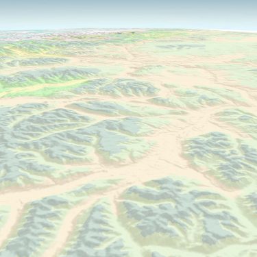
- 3D modeling